
Map-driven apps and predictive tools for outdoor brands, conservation, and agencies.
Leading brands and agencies rely on my GIS and AI expertise to power their outdoor projects and conservation initiatives.
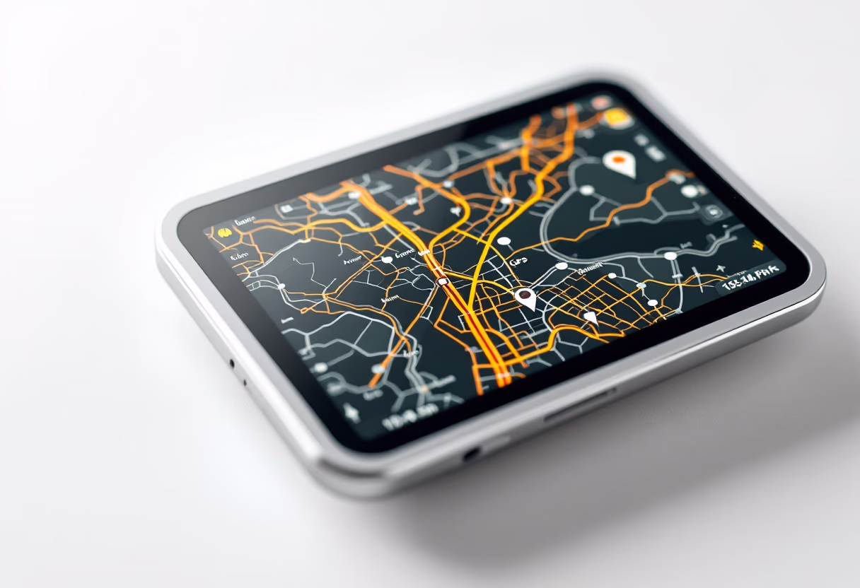
Enterprise-grade mapping applications built with modern frameworks. From simple viewers to complex analysis platforms.
Scalable data pipelines for processing satellite imagery, sensor data, and field collections at enterprise scale.
Machine learning models that extract actionable insights from satellite imagery, LiDAR, and multi-sensor data.
Guidance on GIS architecture, tech stack, and project roadmaps.
Preview recent GIS and AI projects for outdoor brands. Each solution combines spatial analytics, predictive modeling, and clean design to solve real-world challenges.
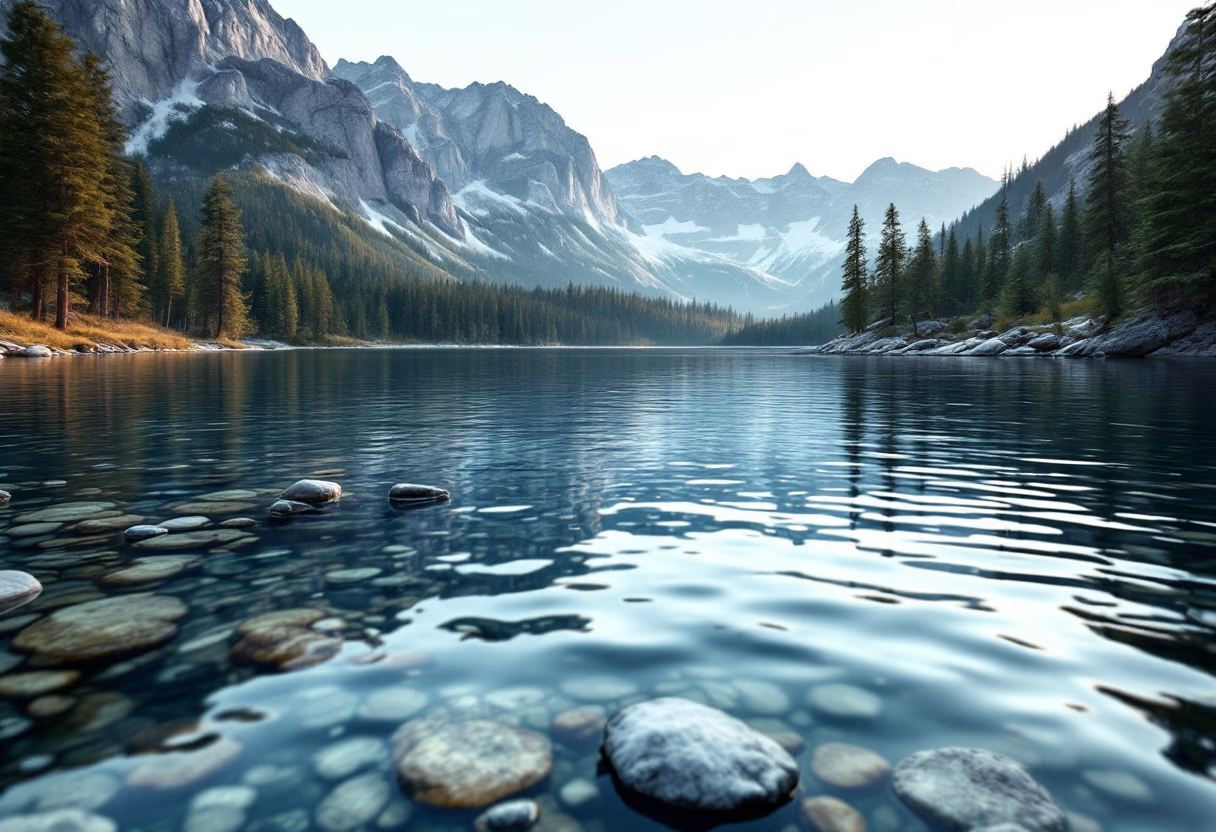


Discover how advanced mapping and AI solutions drive smarter decisions for outdoor brands, agencies, and conservation groups.
From custom web GIS to predictive analytics, I deliver tools that turn complex geospatial data into actionable insights.
Leverage my expertise to elevate your projects—efficient, scalable, and built for the outdoors.
Clear, direct info on services, process, and working with a GIS + AI consultant for outdoor-focused projects.
Outdoor brands, conservation groups, and agencies needing geospatial apps, analytics, or mapping tools.
Python, PostGIS, Mapbox, Esri, and machine learning—solutions tailored to your geospatial needs.
We start with a consult to define goals, data, and deliverables. You get a clear plan and timeline.
Yes. I integrate new GIS or AI tools with your platforms for seamless data flow and minimal disruption.
Ready to start your GIS or AI project? Fill out the form to connect.
![[background image] landscape with a bike trail (for a bicycle shop)](https://cdn.prod.website-files.com/68c317dec94fe44f13445fe4/68c31a6f57e412b1fdb23277_e40e4d5b-f938-4798-bc19-0944fcc4d16a.avif)